Survey
At LJB, surveying is more than locating points. It’s about providing a visual image of the project and a framework for the team. With multiple seasoned survey crews in-house, LJB provides data collection, professional analysis and project support from initial fieldwork and property research to fast, accurate survey documentation.
Services
Ground Survey
- ALTA
- Boundary
- Construction staking
- Topographic
- Machine control
- Laser scanning
Aerial Survey
- Aerial mapping
- Inspection
- Photogrammetry
- Thermal imaging
LJB Services
Data Collection
Better data leads to better decision making. Taking advantage of advanced data collection and layout equipment, our survey crews provide unsurpassed professional analysis and construction layout support. These tools also allow us to minimize the risk that our personnel are exposed to and to provide our engineers with a better understanding of project environments.
Traditional
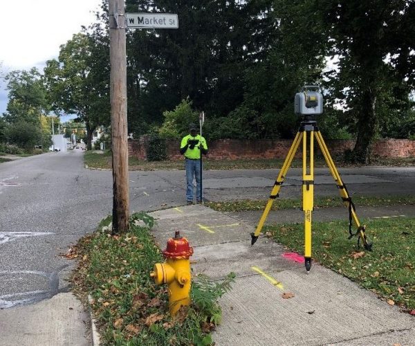
Benefits of Traditional Survey
- Most accurate form of topographical surveying and is able to provide the highest level of detail
- Required to resolve property boundaries and complete legal plats
- Best option for accurate data collection in heavily wooded areas or in restricted areas such as near airports
- Utilized to tie drone flights and GPS data to statewide location networks
Aerial
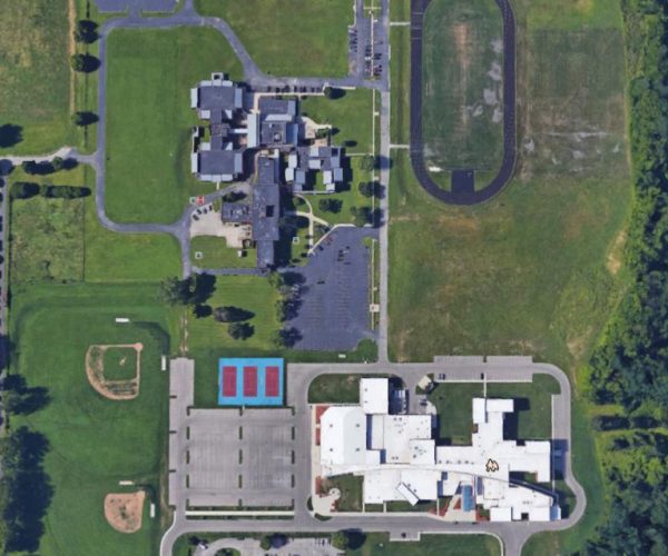
Benefits of UAS/Drones
- Access data from central location
- Collect multiple datasets at once
- Transition data to asset management system
- Minimize travel
- Improve safety for data collection
LIDAR
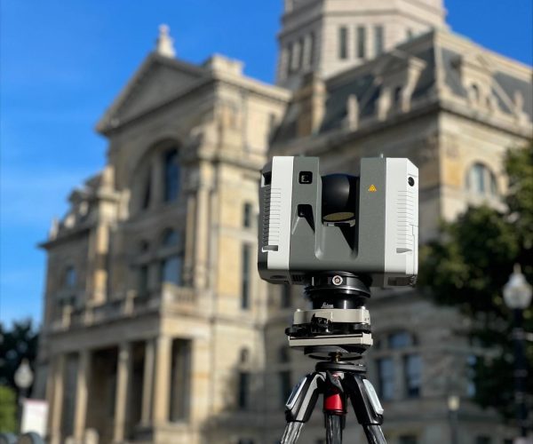
- Reduce the cost of multiple site visits to collect data
- Minimize risk of missing important information
- Assists coordination with existing conditions
- Help organizations make data-driven decisions
