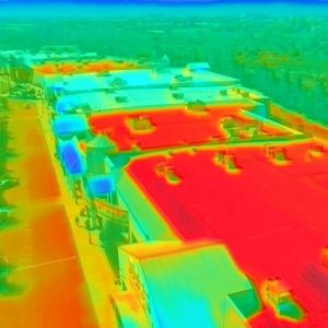

SwiftAir Hangar
At Dayton-Wright Brothers Airport, LJB helped bring a vision to life—a…
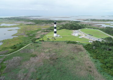
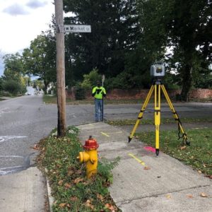
Bodie Island UAV Assistance
Working as a consultant to NCDOT, LJB’s Chris Dustin provided consulting…
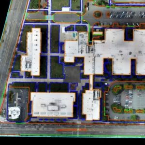
Pleasant Valley Road Bridge & Utilities
Our team served as the prime consultant on this multimodal road…