The Village of Yellow Springs needed an updated GIS solution to support its Public Works department to incorporate legacy inventory data, GIS files, and CAD drawings into an enterprise solution that also provides mobile access to field crews supporting the Village’s electrical, water, wastewater, and stormwater networks. To support this endeavor, LJB implemented and continues to manage the Village’s ArcGIS Online Organizational Account, developing web maps and applications to access and update enterprise data.
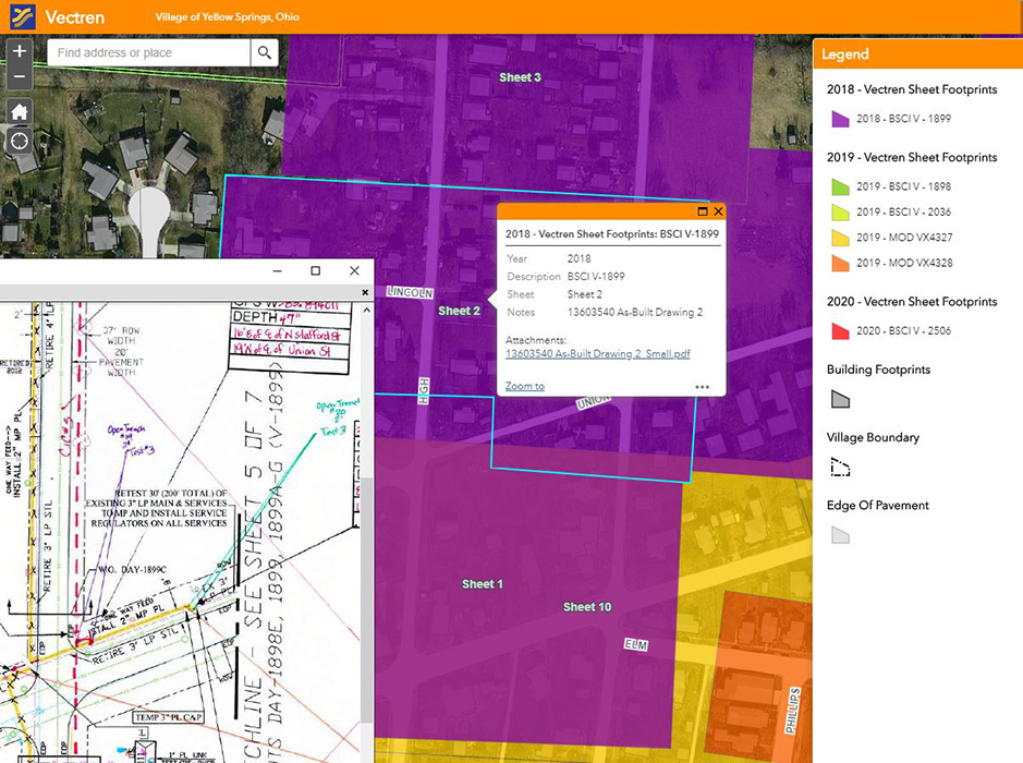
LJB worked with the Village to convert disparate sources into data that could be stored in a GIS platform, including PDFs of construction plans and as-builts, water and electric atlas maps and diagrams, digital CAD data, shapefiles from Greene County, the Rural Community Assistance Program (RCAP), previous consultant engineering and design projects and data, and incomplete GIS datasets from a multitude of sources.
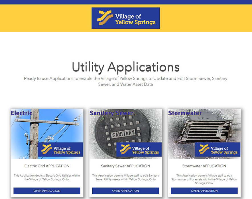
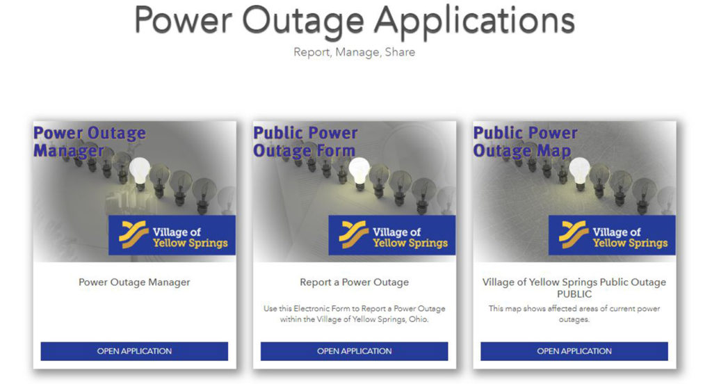
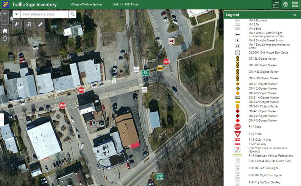
LJB then developed a series of interactive maps for each utility type with collaborative input from each utility’s expert and the Public Works Director. Each layer in these web maps is clickable, providing information about each feature in a pop-up window. These apps provide additional functionality to manipulate, edit, filter, query and export data to a number of formats. After developing individual utility mapping applications, LJB constructed a centralized Hub site that displays map snapshots and links to every application developed for the Village.